In a world where data reigns supreme, geoanalytics is emerging as a transformative tool. But what does it mean, and why should industries care? This beginner-friendly guide explores its principles and highlights its impact across sectors like retail, logistics, urban planning, and more.
What is Geoanalytics?
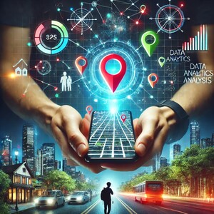
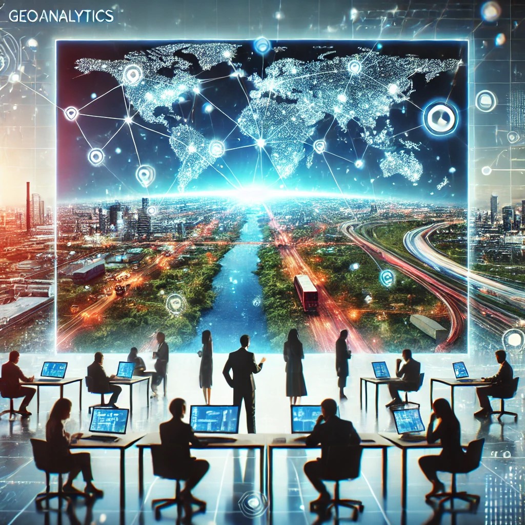
Geoanalytics involves analysing spatial and geographic data to uncover patterns, trends, and relationships. By integrating traditional analytics with location-based insights, it empowers organisations to make smarter decisions.
Principles of Geoanalytics
- Data Integration
Combines diverse data sources like maps, satellite imagery, and demographics to create a comprehensive view. - Spatial Relationships
Analyses proximity, clustering, and movement patterns to understand how entities interact in physical space. - Visualisation
Tools such as Geographic Information Systems (GIS) help visualise spatial data, simplifying complex information. - Predictive Insights
Uses historical data and algorithms to forecast trends, from consumer behaviours to traffic flow.
Why Is It Important?
The growing reliance on spatial data reflects the increasing need to connect data with actionable insights. Organisations that embrace location intelligence gain a competitive edge.
It helps businesses:
- Make informed decisions with added context.
- Enhance operational efficiency by optimising resources and logistics.
- Improve customer experiences with personalised services.
- Address global challenges like urbanisation and disaster response.
10 Industries Transforming with Spatial Analytics
Here’s how various sectors are leveraging spatial analysis to drive innovation:
1. Retail
Retailers optimise store locations, tailor marketing campaigns, and boost sales with location-based insights.
2. Logistics and Supply Chain
Analysing transport routes and traffic patterns streamlines deliveries, reduces costs, and ensures efficiency.
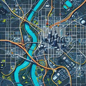
3. Urban Planning
City planners use it to design better infrastructure, improve traffic management, and build smarter cities.
4. Disaster Management
Supports quick evacuation plans, efficient resource allocation, and disaster impact prediction.
5. Telecommunications
Helps identify network coverage gaps and plan infrastructure upgrades for underserved regions.
6. Healthcare
Tracks regional health trends to distribute medical resources effectively and plan campaigns like vaccinations.
7. Agriculture
From monitoring soil conditions to predicting weather impacts, farmers use these insights to improve productivity sustainably.
8. Real Estate
Empowers buyers and investors to evaluate property trends and neighbourhood development.
9. Tourism and Hospitality
Enables travel companies to customise experiences and recommend ideal destinations.
10. Energy and Utilities
Optimises renewable energy projects by identifying prime locations for wind turbines and solar farms.
How to Get Started with Geoanalytics
For organisations keen to embrace geoanalytics, here are the first steps:
- Invest in Tools: Platforms like ESRI’s ArcGIS, QGIS, Qlik Geoanalytics and Google Earth Engine are popular.
- Train Staff: Upskill teams in GIS and data visualisation.
- Integrate Data Sources: Combine spatial data with existing datasets for comprehensive insights.
- Collaborate with Experts: Partner with GIS professionals for tailored solutions.
Final Thoughts
Geoanalytics is no longer a niche technology. Its ability to transform data into meaningful, actionable insights is proving indispensable across industries. As businesses and governments strive for innovation, geoanalytics offers the tools to navigate complex challenges and seize opportunities.